Day 16: Quantocking
- dave7057
- May 30, 2017
- 5 min read
Updated: Feb 15, 2021
Williton to North Petherton. 19.4 miles. Miles to date: 240.2.
After 16 days on the road I have got my pre-flight routine down to a fine art.
It starts with a recurring dream in which I don't have to walk a single step.
I am in a room with a very soft carpet watching Columbo box sets.
I am sitting in a motorised reclining sofa, with my feet in the air. Every hour I gently recline them into a warm foot-bath.
At some point the doorbell rings, but I don't have to get up; the Dominos delivery man lets himself in and hands me my pizza, jalapeño bites and Fanta.
Turns out the pizza man is world class accordion player Phil Cunningham. I turn down Columbo and Phil takes a seat and strikes up a Scots air while I pour a glass of Fanta and raise a slice of Vegetarian Supreme to my lips.
Then I wake up and wonder, for a moment, where I am.
I realise I am two-hundred-and-something miles into a one-thousand-two-hundred-and-something walk up Britain. I wonder for a moment why I'm doing this – do I really like walking that much? – then decide that too many questions are a bad idea, so I get out of bed.
I check all of my toenails are still attached. Five plus five, check. (Though I have a feeling it is likely to be five plus four shortly).
Then I book my accommodation for the night ahead. I use a mix of AirBnB and Booking.com for this. If necessary I plan my route around the night's accommodation, but I prefer not to. So far I've been lucky - even over the bank holiday. At choke points like Hartland Quay and Warren Farm I managed to get a room. Only once have I had to spend over my budget to get me out of potential trouble (aka, a bus shelter).
When I know where I'm staying I finalise my route. I am using the excellent OS Maps App (and companion desktop app). It allows me to plot my route for the day on my laptop then upload it into my phone. I then follow my route overlaid onto a digital 1:25:000 map through the day. My phone even gives me a warning tone if I wander off route (not that I always hear it).
Then I pack. I have four secure dry bags inside my rucksack. One holds electronic stuff. One holds my wash and first aid kit. One holds my clothes. And the final one - with two walls - holds my laptop. Each needs deflating then waterproofing and fitting into the main pack. When all of that is done I realise I've forgotten to pack my toothbrush and iPhone lead. So I unpack everything and start over.
Finally, I fill up my water bottles, pull my (wet) boots on and set out onto the road.

Today's route, though fairly long, was a simple enough up and over the Quantocks.
Before today everything I knew about the Quantocks came from an episode of Peep Show, where Mark proposes to Sophie 'out of embarrassment' during a meant-to-be-romantic weekend in the Quantocks.
Unlike Sophie, I didn't get lost after too many glasses of wine, and the walk has been one of the best since Land's End. These are great little hills. And my route, largely following the MacMillan Way West, has been a pleasure. It helped, too, that the weather was cool and breezy with a few rays of sun.
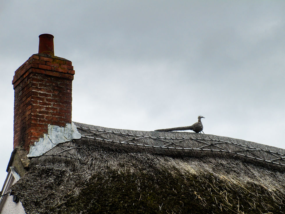
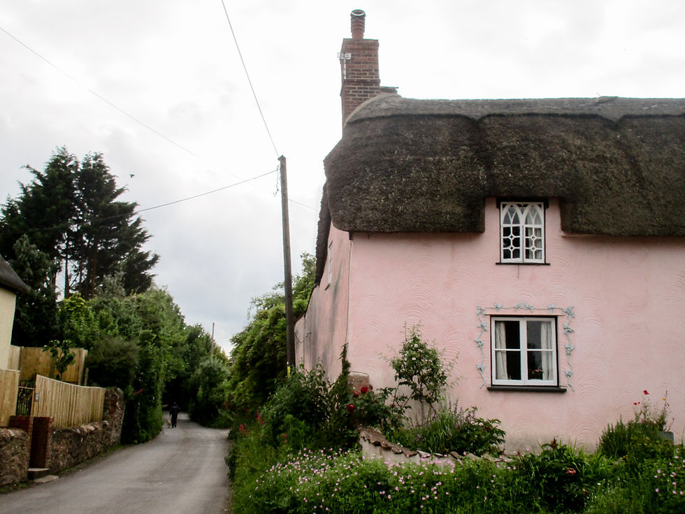
Leaving Williton. The Mason's Arms is a great B&B run by good people. Recommended for LeJogers!
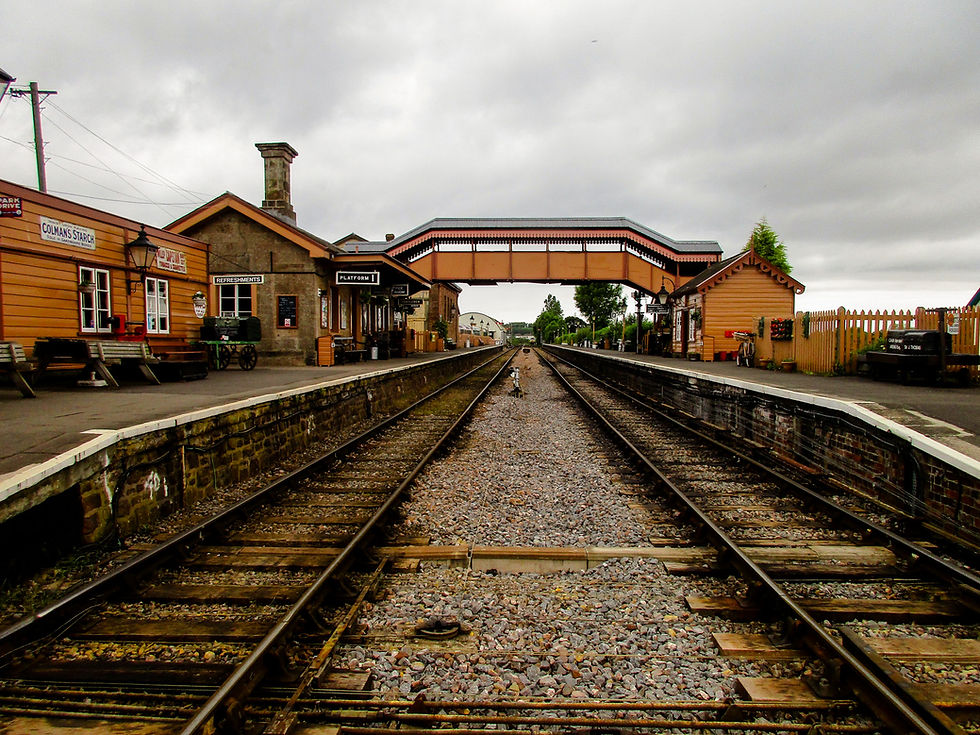
The rather lovely Williton Station on the West Somerset Railway. For the first half of the day I was accompanied by occasional whistles from the valley below.
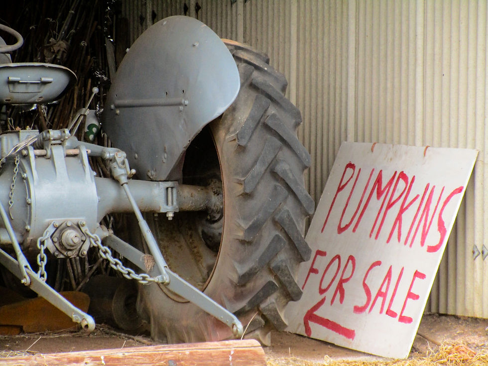

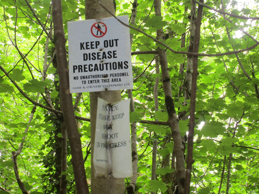
Walkers' nightmare.
We're in arable land now. I didn't see a cow all day. (Thank God).

Minehead in the background. Williton is only a few miles from the sea.
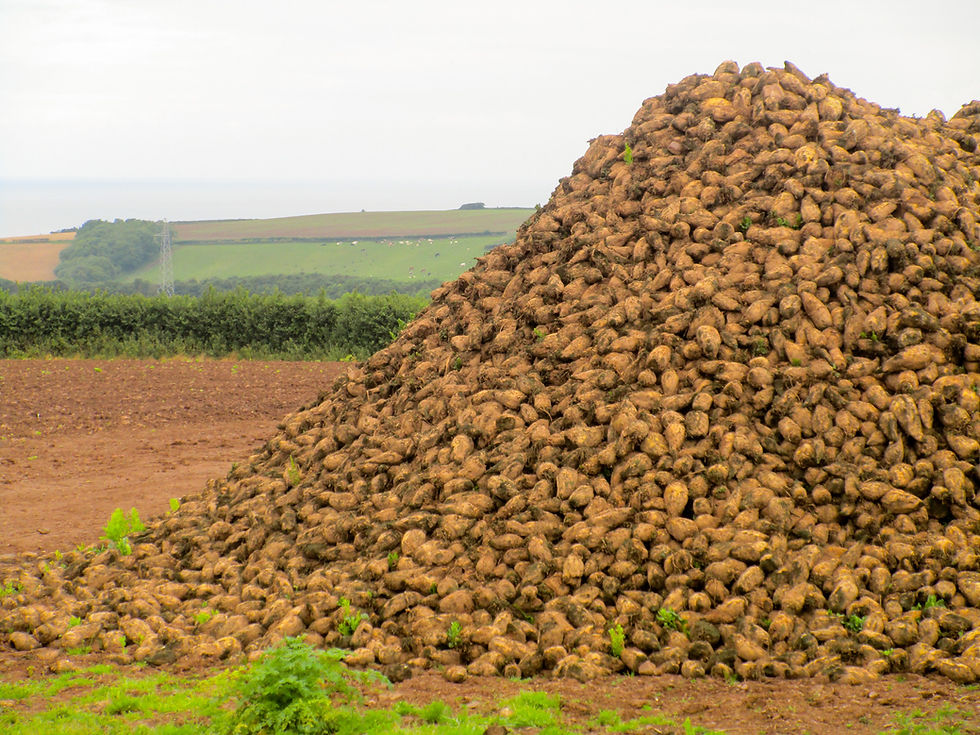
Pile o' mangles.

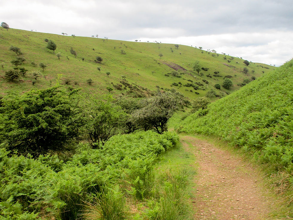
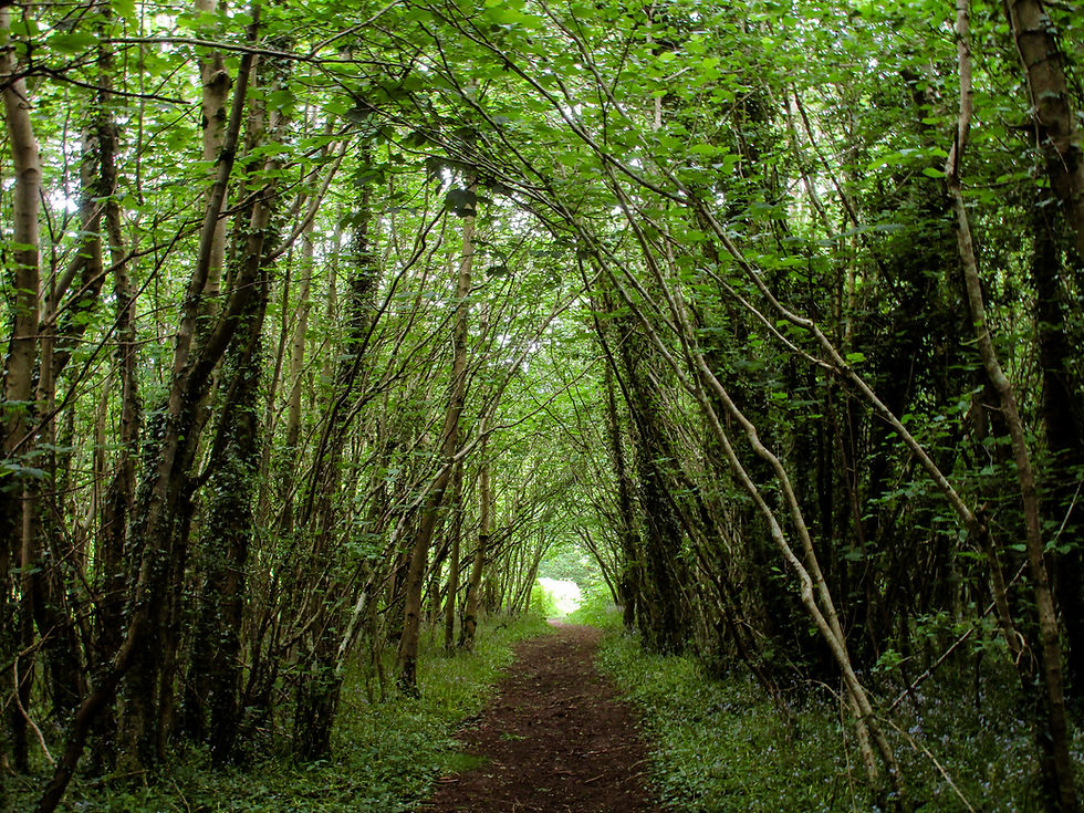
MacMillan Way West picking a path along the base of the Quantocks.
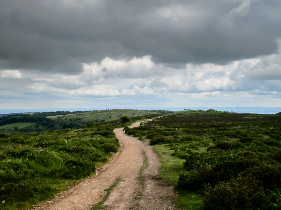
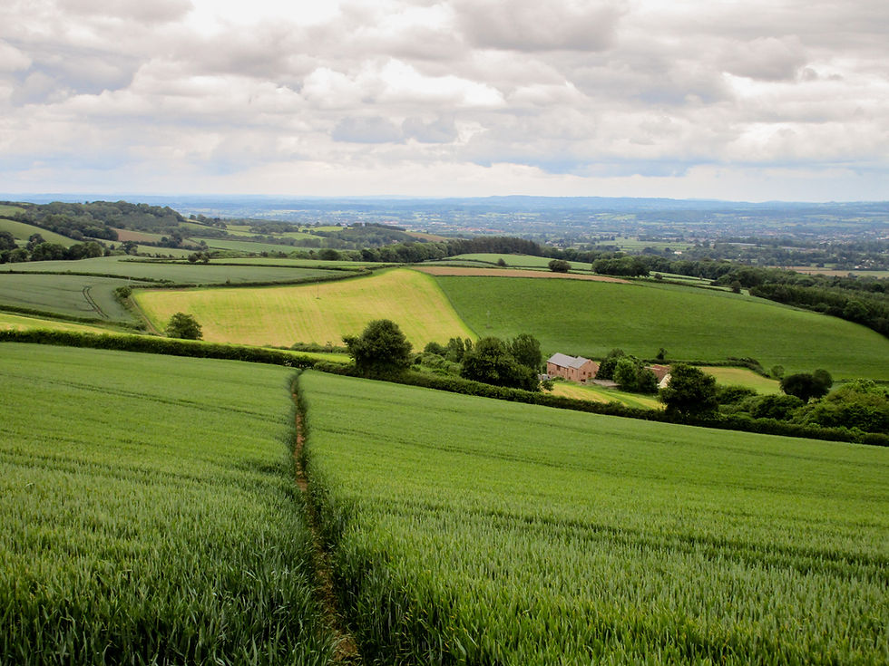
The walk started by climbing up Bicknoller Combe onto Black Ball Hill. The Quantocks run 15 miles from the Bristol channel in the north towards Taunton in the southeast. They feature a rich mix of heathland, woods and ancient parklands. Once you're on the tops you can stride for miles on clear, wide tracks. I followed the spine of the hills for most of those 15 miles, taking in Wills Neck, Lydeard Hill and outlier Merridge Hill. Although it seems counterintuitive to be going south, it sets me in good stead to cross the Levels (eek) tomorrow.
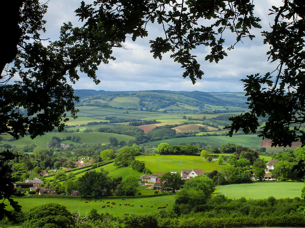
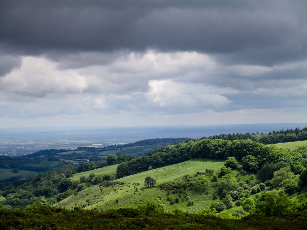
With the air clear after yesterday's soaking, views were panoramic and extensive. I could look back over Exmoor, to where I've been for the past few days, and I could see Glastonbury Tor - tomorrow's goal - in the distance. Bristol, The Severn, Hinkley Point and Wales were also part of the panorama.
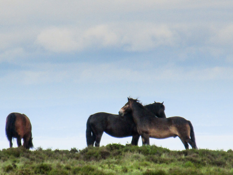
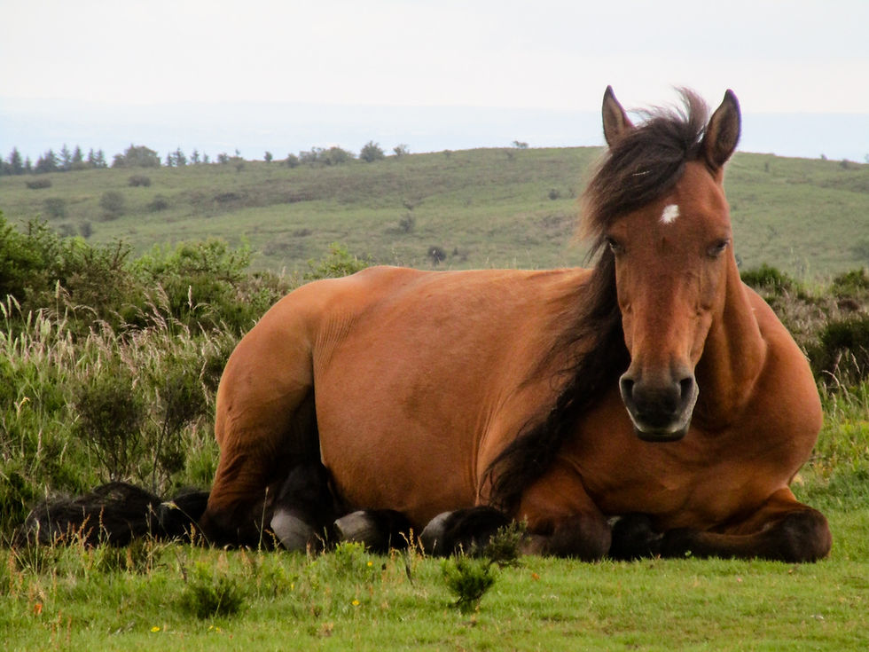
It was lovely on the tops, and - for a change - busy. Mountain bikers. Families picnicking Plenty of animals grazing too: Exmoor ponies, deer, sheep. Skylarks were in fine voice. At one point I found myself eavesdropping on a conversation between a cuckoo and lost lamb that couldn't end well.
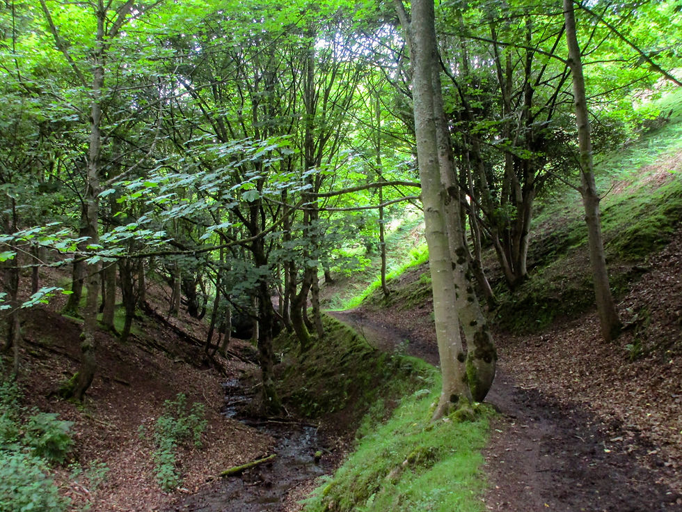
My ascent onto the Quantock spine was by way of a pretty stream that drops from Bicknoller Hill.
The views were of patchwork countryside.

Deer.

The surroundings were changing all the time. One minute you were in oak woodland, the next heather and bracken heath.
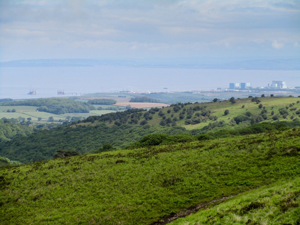
My little Canon is a great camera but doesn't cope well with distances. It just about captures the twin blocks of Hinkley Point C. The Welsh coast is on the horizon beyond.
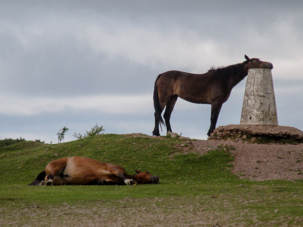
So that's what trig points are for! Horse chin-scratchers.
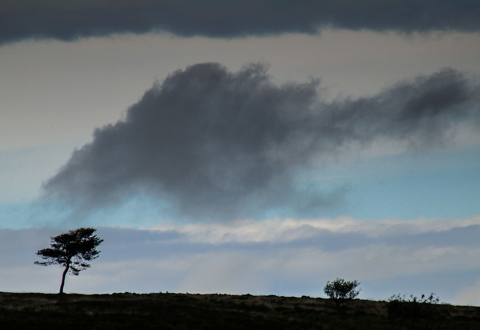
There were a few grey clouds about. But I escaped the rain.
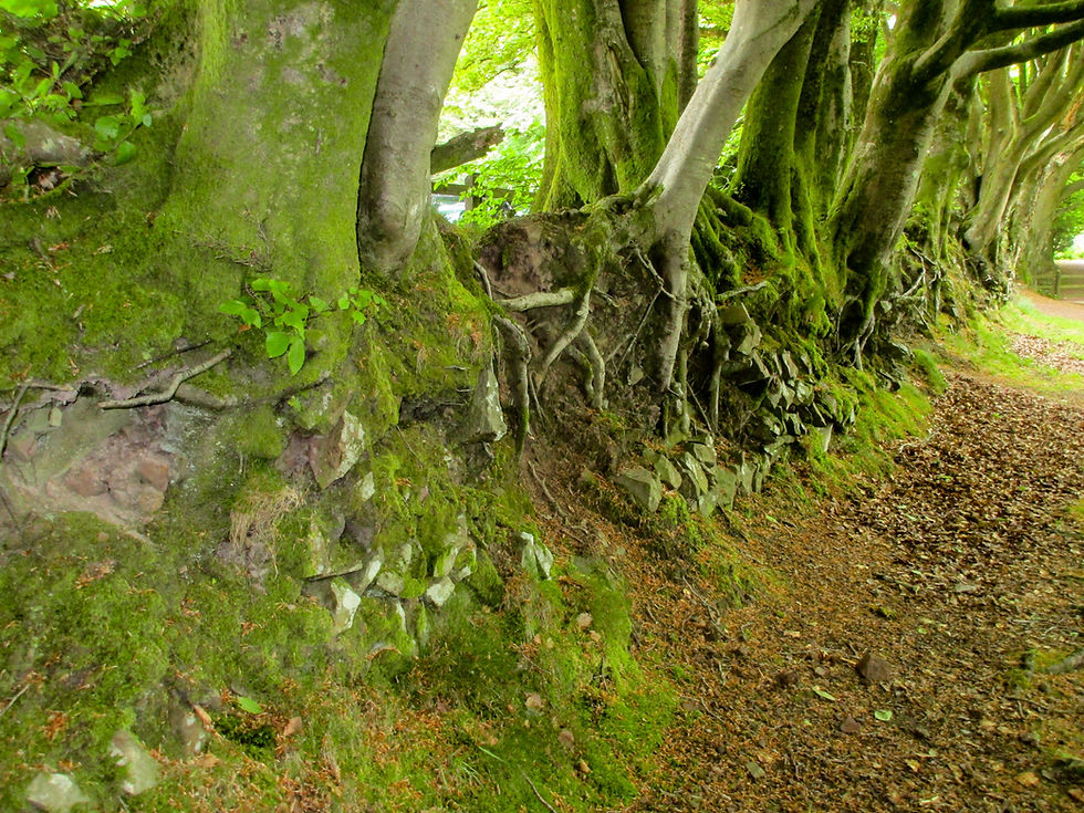
A particular highlight on the tops was the extensive Drove Road, a beech-lined avenue once used for, um, droving. It came into its own when the Levels below were flooded. Now all that's left are the beeches, gnarled roots clutching tumbledown stones.
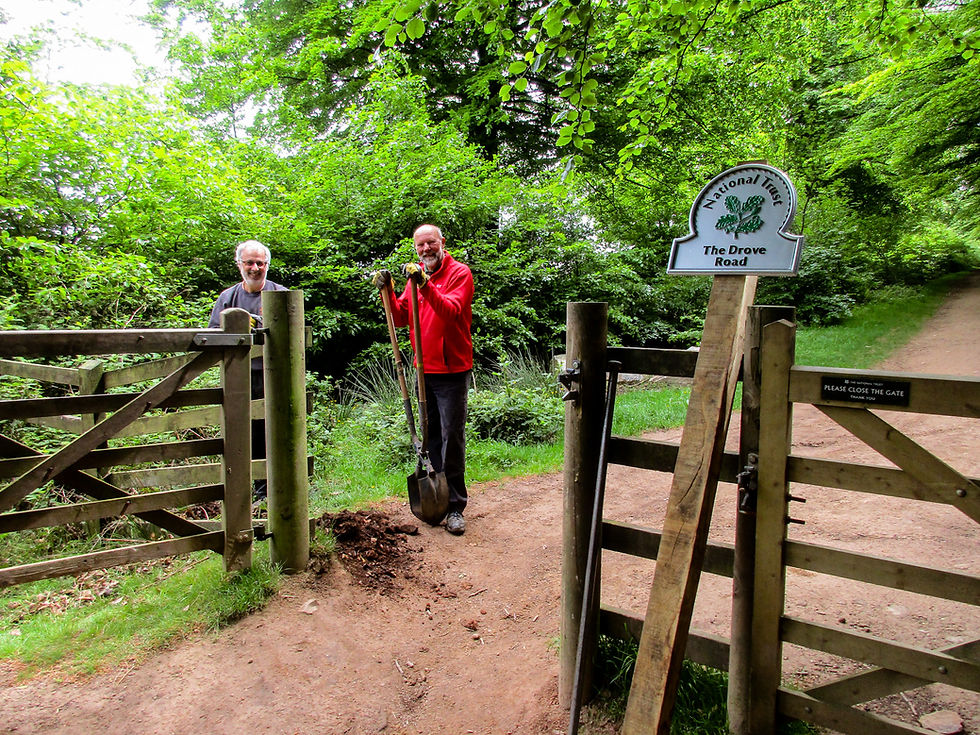
These National Park rangers were repairing signs. They were very enthusiastic about their patch - The Drove Road.
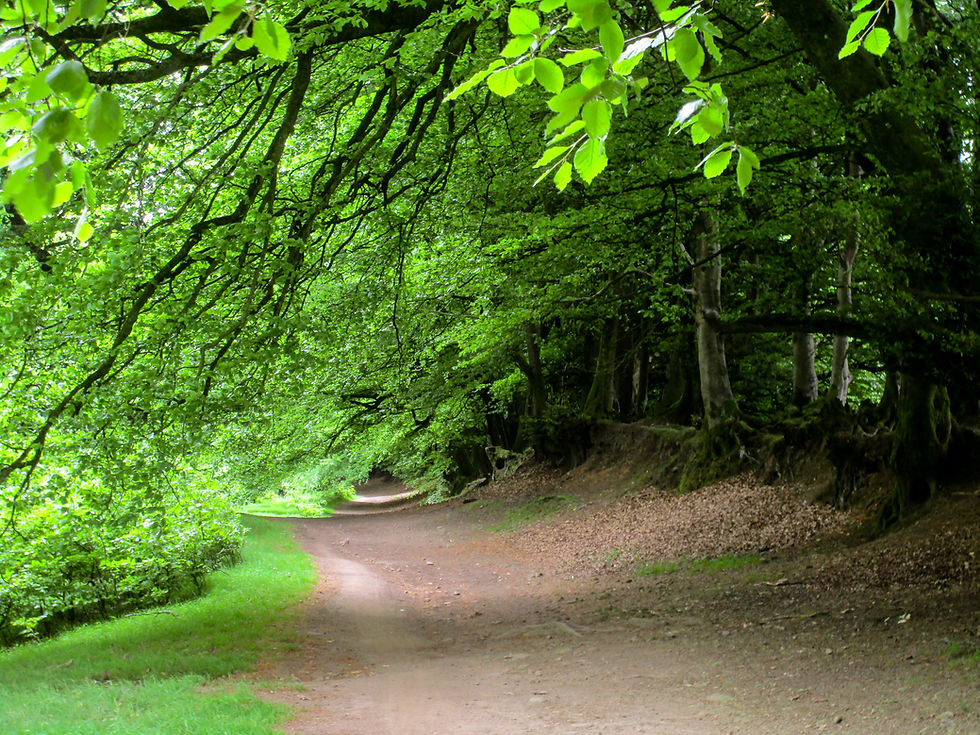
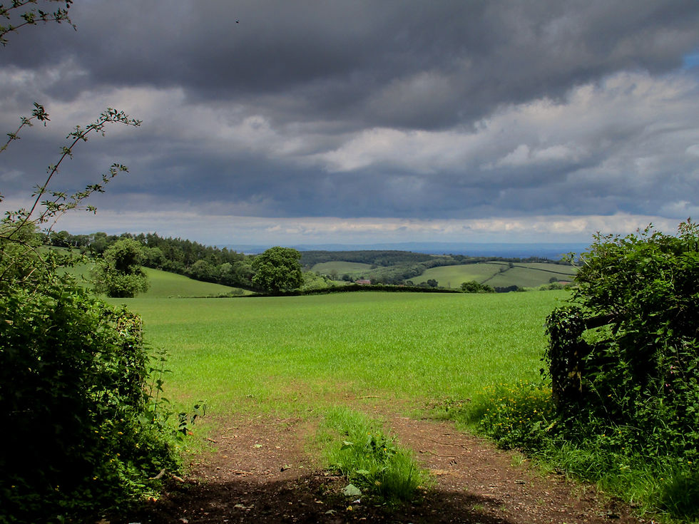
When it leaves the Quantocks behind, the MacMillan Way West weaves its pastoral way through woods, over fields (on well maintained paths), along streams and into picture-postcard hamlets. Everywhere was bursting with nature - and everywhere, when off the Quantock tops, was empty of people.
It's baffling really. Over the past four days I've walked through outstanding beauty day after day. And I can count the number of walkers I've met on one hand. And this is bank holiday weekend. And half term! I'm not sure if there's much to conclude from this except:
1) Away from the honeypots our world-class public rights of way seem terribly underused,
and
2) Walking LeJog is definitely not something for those with a propensity for loneliness.
Not that they'd be doing the walk in the first place, of course.
Which might not be such a bad thing. They would, at least, avoid that recurring dream about foot-baths, pizza and Phil Cunningham.
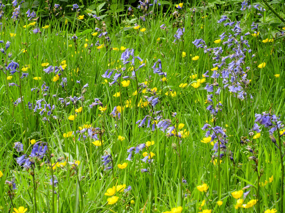
The Quantocks: a rich tapestry of countryside.
Coppiced woods.


Flat Holm, the southernmost point of Wales, rising in the Bristol Channel beyond Hinkley Point C.
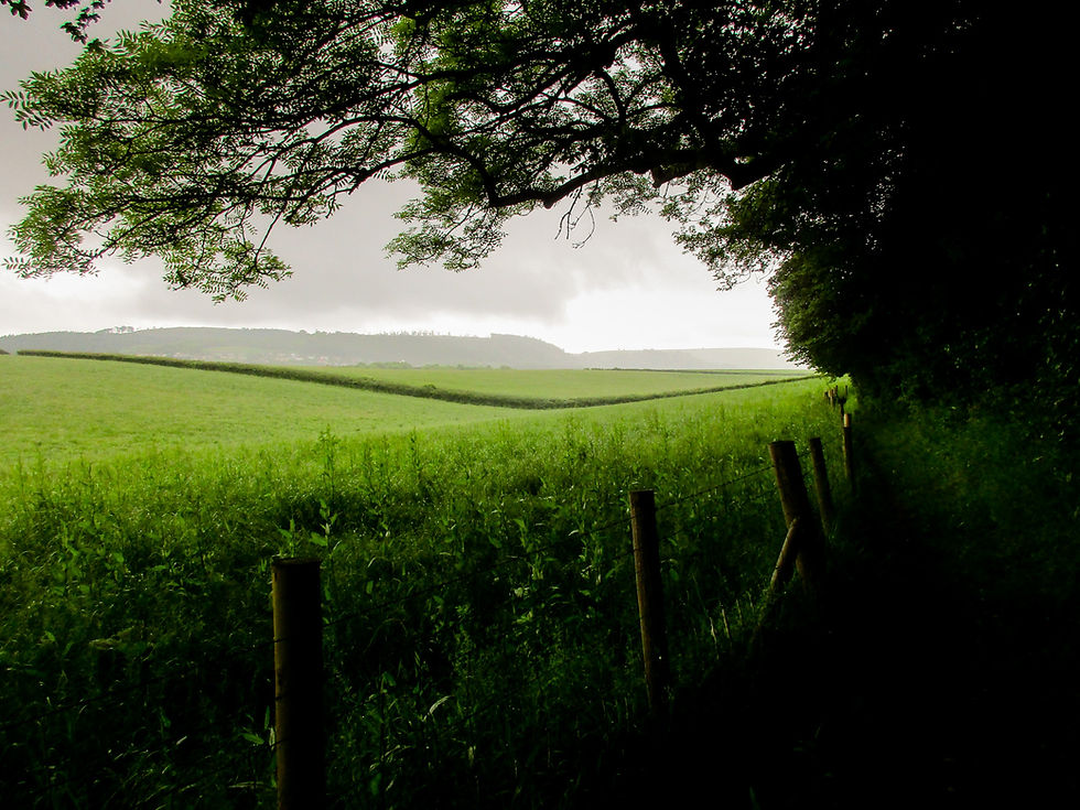
That's how a path through crops should look.
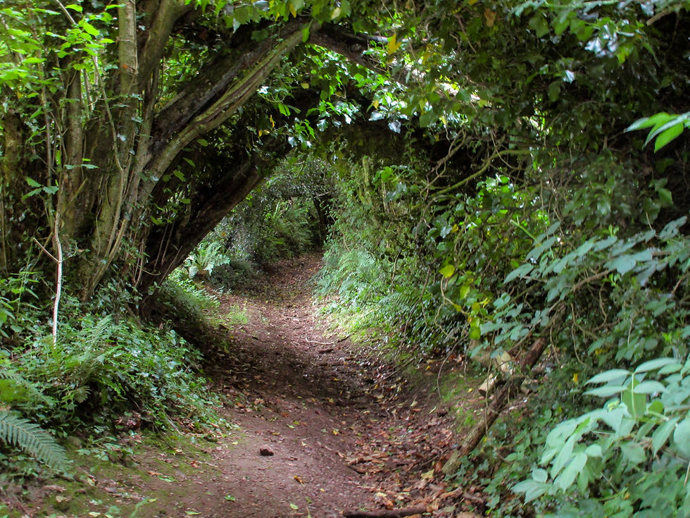
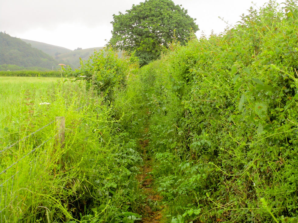
Sunken lane.
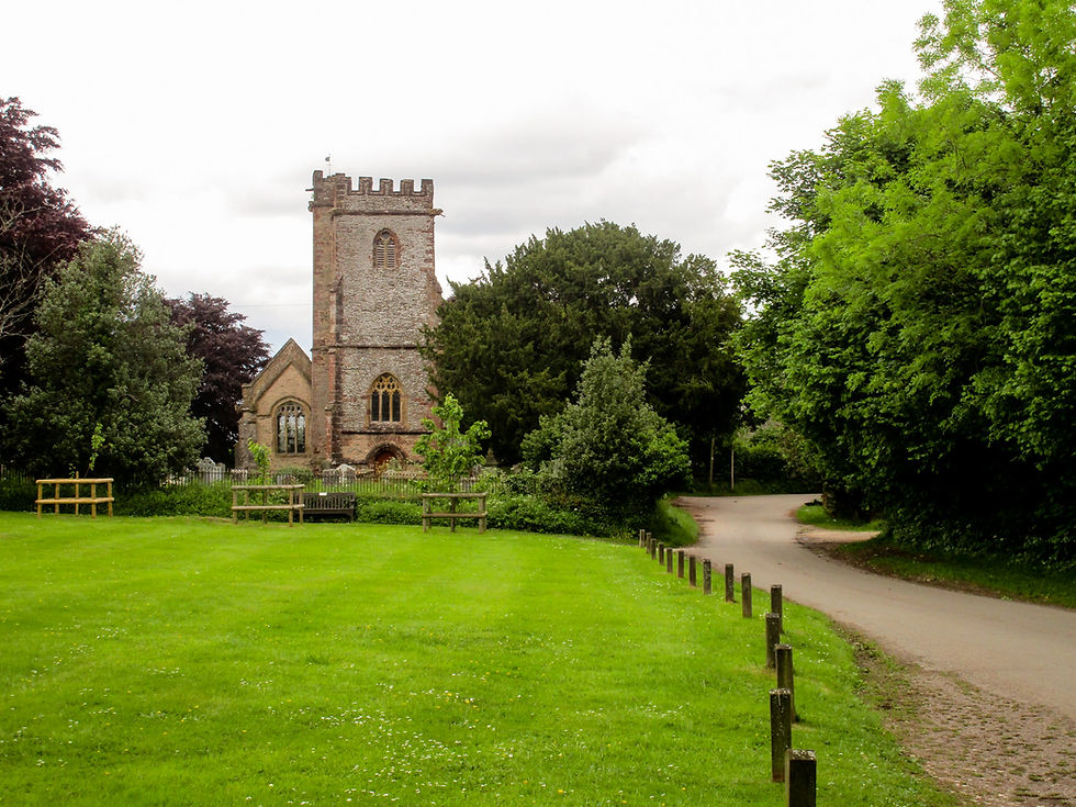
Broomfield Church. It was a beautiful spot.
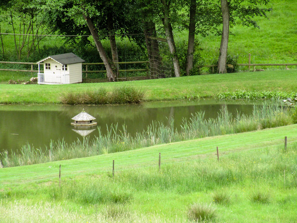
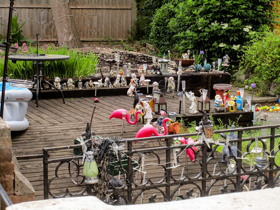
Sir Peter Viggers' duck house. (Joke).
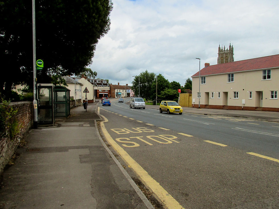
North Petherton high street. When I went into a bar on the high street and asked the barmaid where the centre of town was she replied: "There isn't really a centre." It's perfectly nice though.
Next: Day 17 – North Pellerton to Glastonbury.
Previous: Day 15 – Wheddon Cross to Williton.


Comments