Day 5: Light
- dave7057
- May 19, 2017
- 4 min read
Updated: Feb 15, 2021
Perranporth to Mawgan Porth. 17 miles. Miles to date: 69.5.
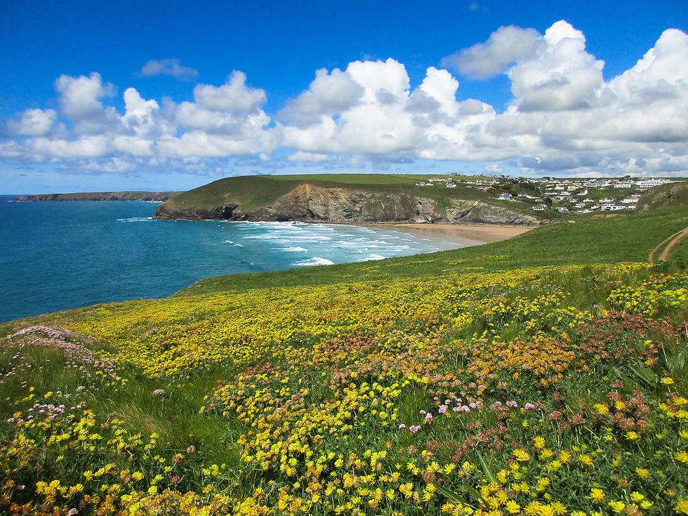
Another early start saw me set off across the big sands of empty Perran Beach. Within minutes a rain shower prompted the walker's dilemma: stop or not stop to unpack waterproofs. I decided not, and within ten minutes the rain had gone and a rainbow arced down behind 'Man & his man' - the rock formation that lies a mile or so off-shore. It was the start of a day with beautiful light in almost every direction, with its mix of storm clouds out at sea and perfect sunshine inland.

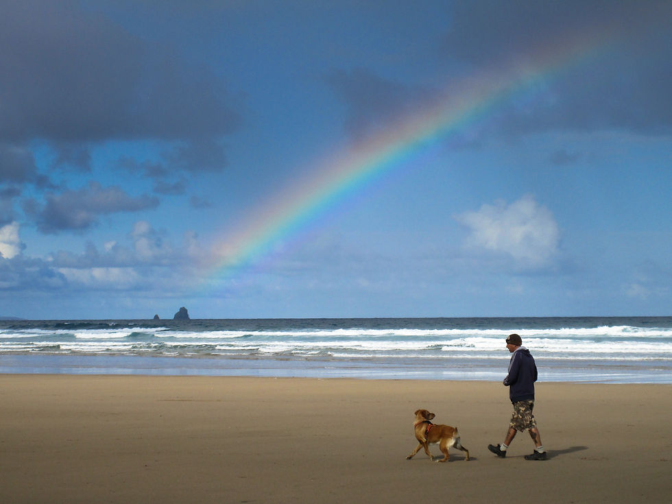
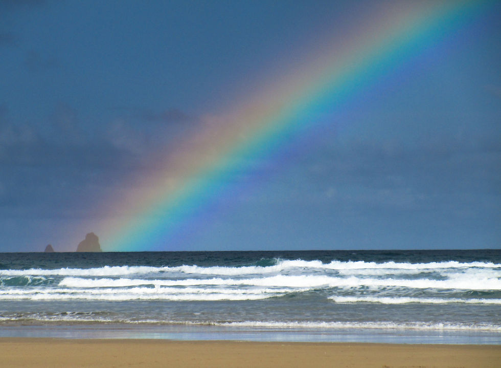

The mix of storm clouds and sunshine made for some beautiful light, which lasted throughout the day.

Yellow headland.
.
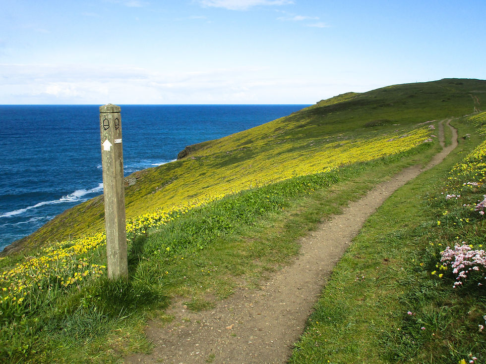
On that headland – with the now-familiar SW Coast Path way marker.
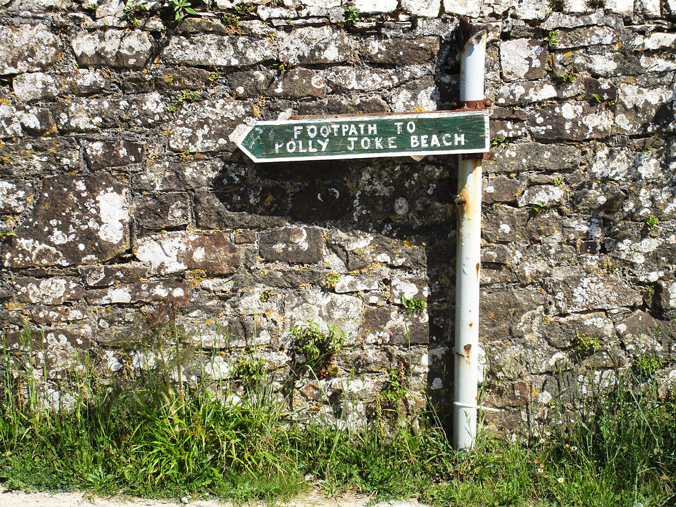
Over the headland and the morning was more of yesterday: easy clifftop walking interspersed with quiet bays that tourists don't seem to know about. Holywell beach was nice enough, even better was the beautifully named Porth Joke - with its little creek and pocket-sized cove.
Then on past Pinhale Camp - what looked like an abandoned army base being eaten away by the sea but what is in fact an MOD training facility with billets way past their sell-by date that army reservists seem to love based on the number of pubs nearby. Well that's what it says here anyway.

Holywell Beach.
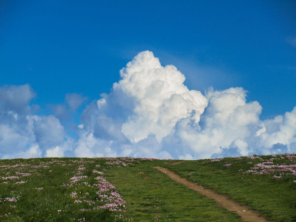
Big skies.

The rather lovely Porth Joke Beach.
Then came Crantock.
A challenge walk like LeJog has to have some kind of rules, and one that Andy Robinson lays down in his 'End to End Trail' is that ferries are not allowed (on the basis that you could simply catch a boat from Lands End to John o' Groats). Although I was in two minds about that rule before I started out, I tend to agree now.
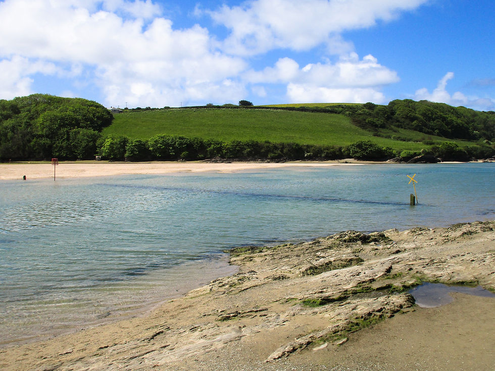
Crantock provides the first real challenge to the walker who's not using ferries. Here the River Ginnel tidal estuary forces you inland either to a tidal footbridge or - if that's flooded - to perform an inland detour of 6+ miles.
I knew, given the easy afternoon walking I've had over beaches, that I'd reach Crantock at pretty much high tide. So it was that I passed by the ferry (not yet open for the summer season, so temptation avoided) only to find the tidal 'bridge' submerged by three feet of seawater.
Seasoned walkers around these parts apparently know the thing to do in such cases is to wait out the tide by having a pint or three in the nearby Old Albion Inn ("Sorry dear, got trapped by the tide again"). I didn't know this so I removed my boots and forded the river, praying that I didn't fall - which would have meant the end of my laptop, phone and camera – and effectively my walk. Feet getting progressively colder, I finally made it to the other side - where the manifold pleasures of Newquay awaited.
What I assume must be the ferry 'port' to transport non-LeJogers across the River Ginnel. It was't open (promise).
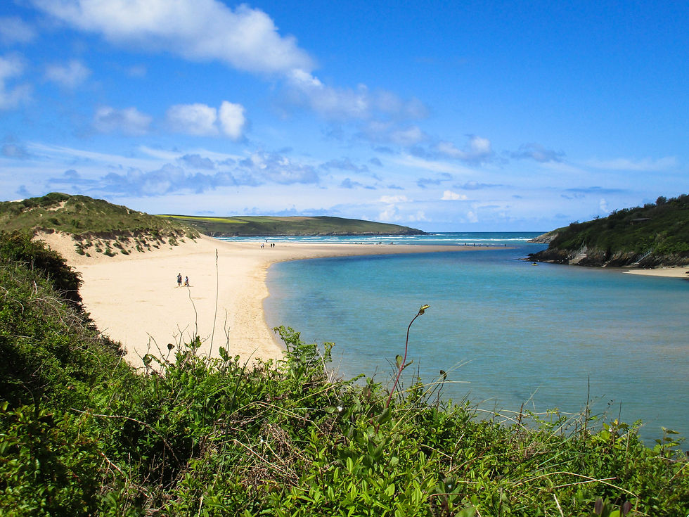
Where the Ginnel meets the sea.
The tidal 'bridge' - roll up your trousers and hope for the best.
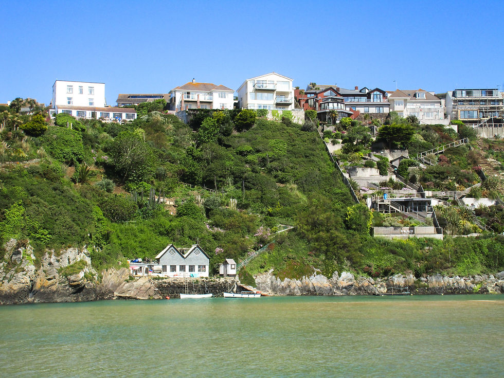
I last visited Newquay two decades ago. I remember it being fun enough, and I half remember a good night out. I'm not sure how much it's changed since then. There are bars, surf shops, taverns, discount stores, bars, fish & chip shops, inns, amusement arcades and bars; a heady mix of Cornwall at its most commercial and the Costa Brava. I managed to find an oasis of calm for lunch in the form of a colourful vegan café whose WiFi password was 'meditation'.
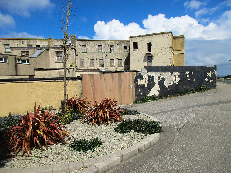
Trenance, the other side of the Ginnel - there is redevelopment work going on all over the place here.
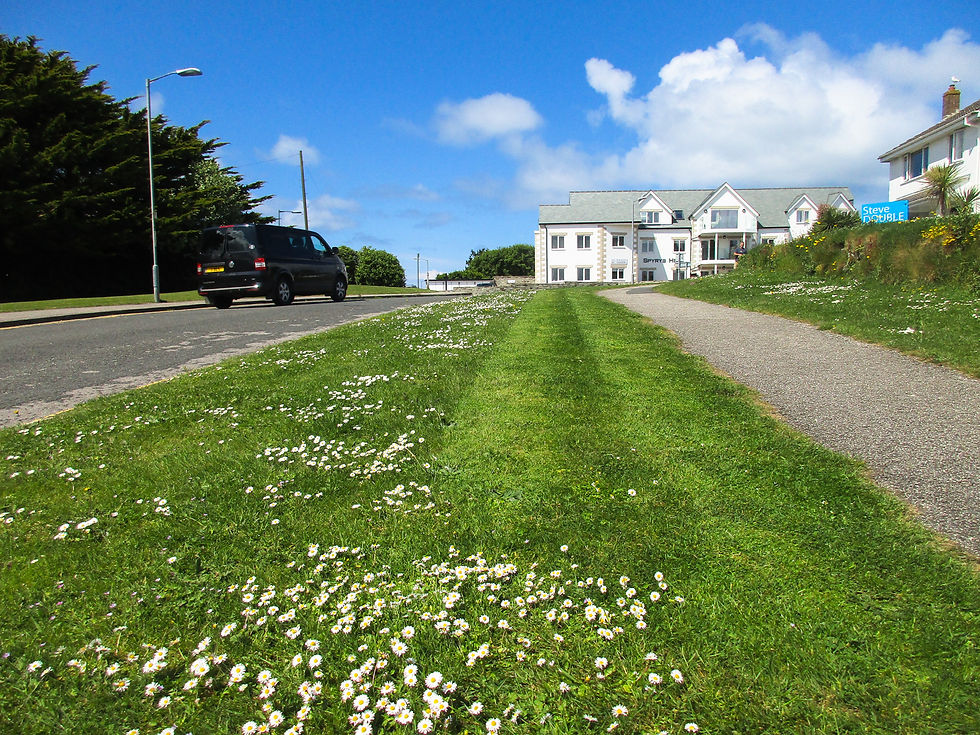
In Suburbia...

Newquay Harbour. Actually very pretty.
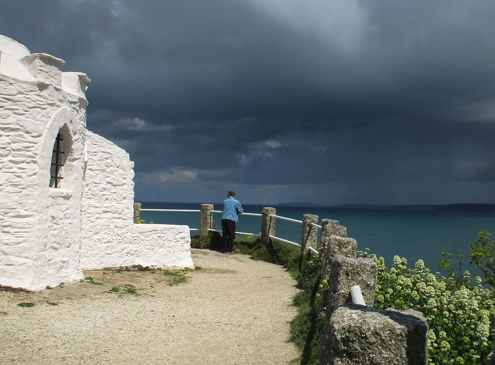
The whitewashed Huer's Hut overlooking Newquay Bay. Clouds were bubbling up all day but after the shower first thing the day was perfectly sunny throughout.
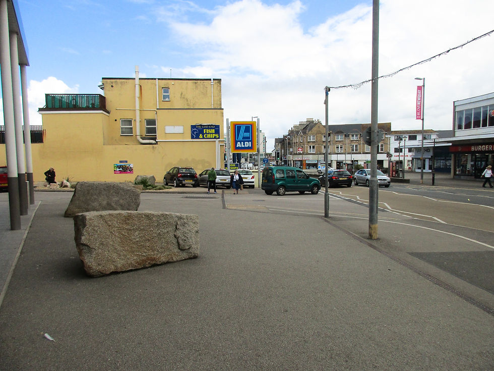
Newquay town centre: pretty much as I remember it.
From Newquay north the walking improved quickly.
Watergate Bay was preparing itself for a Polo on the Beach event - with dozens of portaloos and fencing all over the beach. It's this weekend and if the weather holds they'll have a good time. Then it was over a few more cliffs to reach my stopping point for the night, the beautifully located (and named) Merrymoor Inn, which is a stone's throw from the beach.
That it's Eat All You Can Curry Night tonight is a coincidence, I promise.
Promise.

Watergate Bay.
Approaching Mawgan Porth.

Proof that I'm actually here rather than pretending to walk LeJog by sourcing a few pics and making up some waffle. Those are my guidebooks. They're both OK but I reckon I could publish a better one ;-)
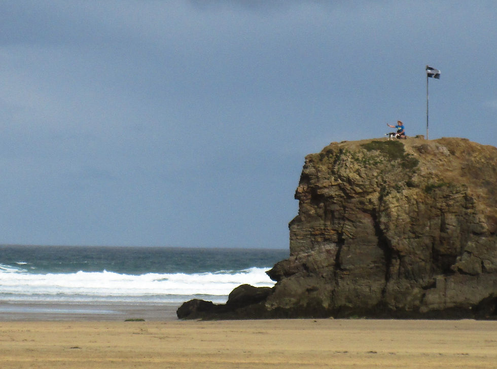
Saint Pirin's Flag: the flag of Cornwall.

Pigeon and mine shaft.

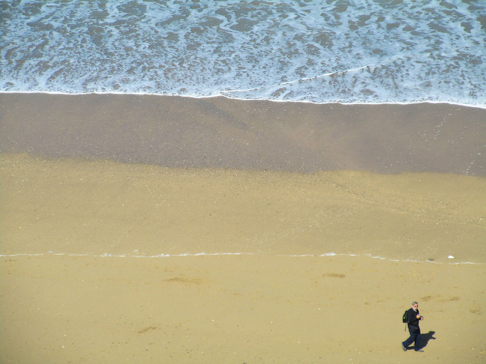
Philosopher and rambler.
Sign, West Pentire.

Sundown, Mawgan Porth.
Next: Day 6 – Mawgan Porth to Wadebridge.
Previous: Day 4 – Portreath to Perranporth.


Comments