Day 20: Relics
- dave7057
- Jun 3, 2017
- 6 min read
Updated: Feb 15, 2021
Midsomer Norton to Bath. 18.7 miles. Miles to date: 297.1.
Somewhere between weeks two and three - probably after turning right at Barnstaple - the novelty of LeJog wore off and what became a previously unimaginable journey became something like day-to-day routine.
That's not to underplay the enjoyment since, or the ongoing challenge, or the wider sense of purpose. Just that I go to bed each night knowing that tomorrow will bring another day of walking and that I'll be another few miles closer to my end point. I know roughly how I'll be feeling, how my feet will hold up, and what 15, 18 and 20 miles feel like. I know where I'll be for lunch and what time I'll reach my destination. It's a bit like that feeling a few days into a holiday when thoughts about work fade and it starts being a holiday, when the gap between arrival and departure is long enough for the break to settle into its own groove.
Another thing that has happened - particularly since the relatively known quantity of the South West Coast Path - is I've had no real expectations to meet. Long distance footpaths are well served by guidebooks and blogs; if you read up you know what's ahead. But the cross-country link routes I've been using for the past week have been largely blank canvases. So a day can end up delighting or frustrating out of the blue.
Today's walk was an unexpected treat - a walk along ever-widening tributaries of the River Avon for 18 miles into Bath. The weather was good, the paths excellent and the gradient - as you'd expect from an all-day river walk - downhill all the way. Not only that, for the first time on my LeJog I had company. Besides, any walk that ends in gorgeous Bath is unlikely to be all bad.
When I'd left Midsomer Norton last night it had been gearing up for what looked like a messy Friday night; the shops were all closed and grey clouds clung overhead.
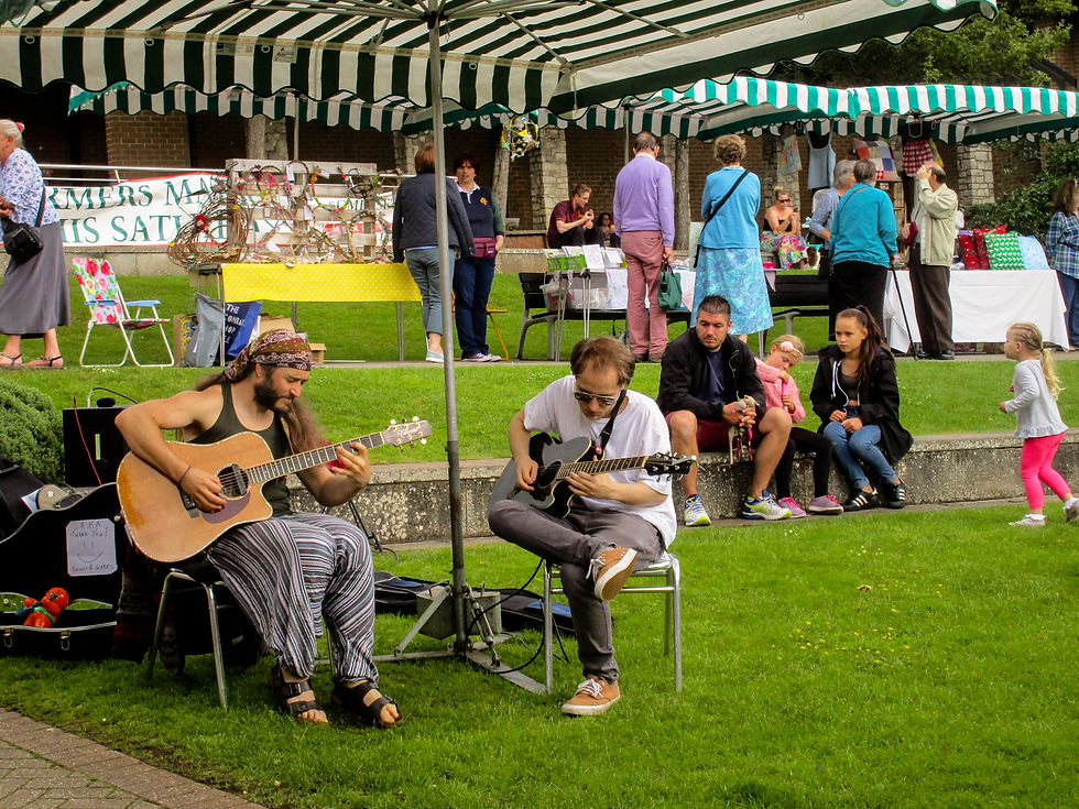
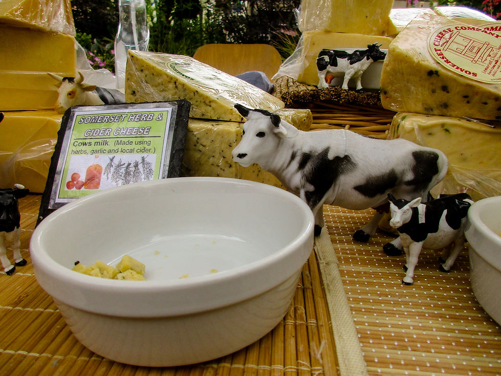
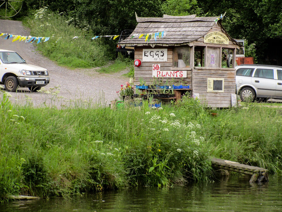
This morning it felt like a different place. Crowds were out shopping, the stream that traces the high street rippled in the sun and the square was hosting a farmer's market. The organisers were so proud of it there was even a welcoming committee explaining how the market worked, where the best treats were to be found and which stalls were must-visits (all of them, it seemed).
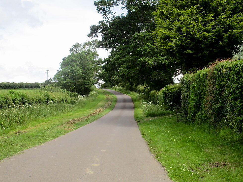
After stocking up, we were out of town in minutes, our only climb of the day taking us along quiet lanes to the hamlet of Radford where we turned east along the burgeoning Cam Brook and picked up the Limestone Link, a 36 mile trail that links the Mendips with the Cotswolds. (This Limestone Link is not to be confused with the Cumbrian trail of the same name. Though you'd be very lost if you managed to do that.) Everywhere was quiet, not a car on the road, or a tractor in the fields. Everyone, it seemed, was having a day off.
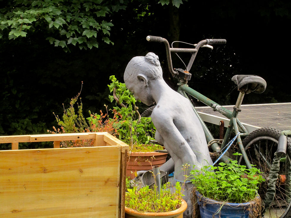
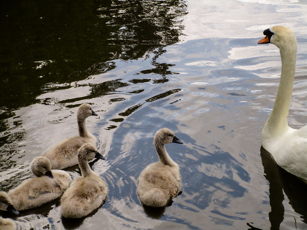
The Limestone Link was generally a pleasure to walk, but there were some odd moments, including a fiddly section above the village of Camerton that takes you through dozens of back gardens on a path that threaded wonkily through people's veg patches and flower displays, past tree dens, sheds and summerhouses. It was interesting in a people-watching kind of way - banjo strumming from a shed, old guy drinking tea in the sun who was helpful enough to direct us out of a nettled dead-end back onto the vague path. But with barks of unseen dogs never far away I relaxed when we returned to established paths along field edges, down backlanes and through water-meadows where topaz dragonflies by the dozen winged with frantic abandon alongside the growing Cam.
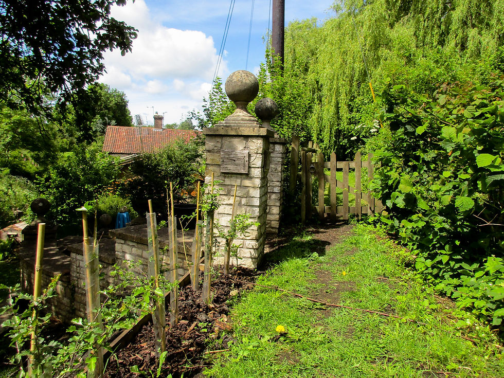
For a good quarter mile we were nosing around back gardens. The people we saw seemed pretty relaxed to have us wandering over their lawns, but it felt like a better route could probably be found with a little compromise on all sides.
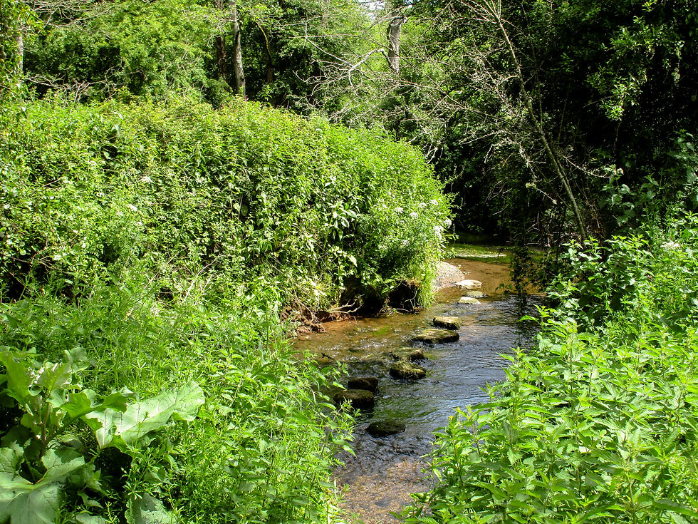
The Cam - a lively little river that kept us company through the early miles.
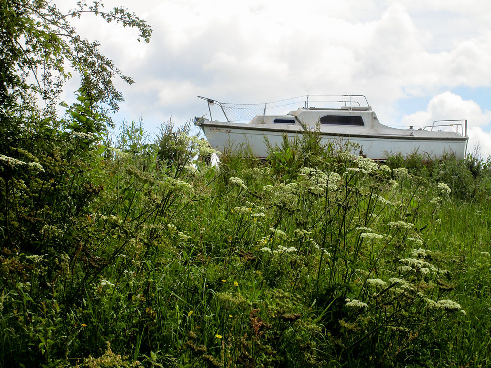
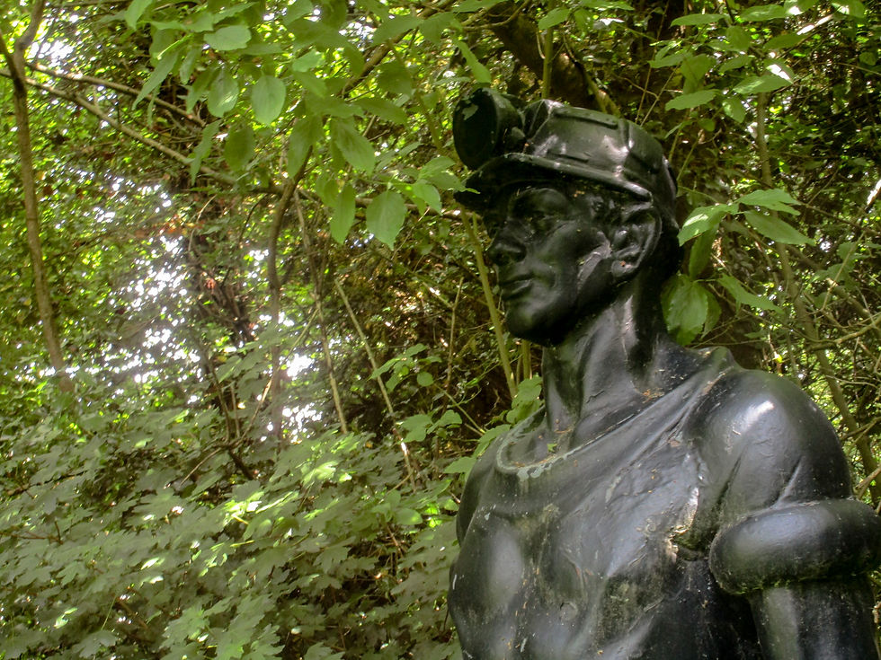
A towering bronze statue of a miner in Camerton asserted for the second time in two days the mining heritage of this part of Somerset. It's not an area readily associated with the industry, but the extensive Somerset Coalfield - home at one time to 80 collieries - was still being mined as late as 1950. A sprawling spoil heap on the far side of the village has been transformed into a community nature reserve - wooden walkways and information signs. It's only that 18 foot bronze statue that gives any hint of the past.
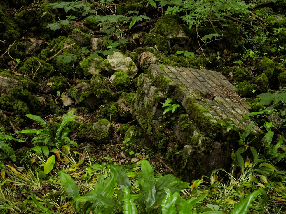
Elsewhere the clues were closer to the surface: ornate bridges under which nothing flows; dykes and ditches too regular to be Mendip furrows; masonry wreathed in ivy. At one point this valley was served not only by the steep Camerton branch of the Bristol & North Somerset Railway, but also the Somersetshire Coal Canal, a two-pronged branch that gave the mines direct access to Bath - and London. The railway has been out of use now for more than half a century, the canal double that, and for most of the walk you'd never know boats and trains once transported coal and people along this quiet backwater. But the relics among the trees tell of industrious days, when the area sourced much of the fuel to help power the city of Bath.

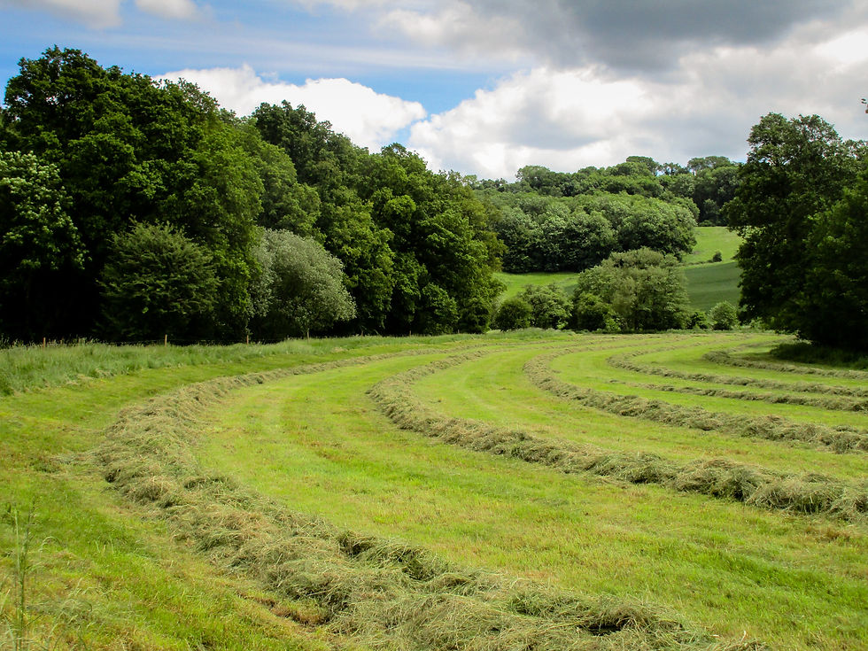
As our companion river grew wider, settling in pools and joined by Wellow Brook, the walk passed through a series of villages. Combe Hay. Medford. Monkton Combe. Each as lovely as the next. Warm bath stone, roses round doors, immaculate lawns – price tags to match. As we drew closer to Bath pedal traffic increased, cycle groups taking advantage of the quiet lanes and busy pubs.
The one-time home of William Smith, 'Father of English Geology'. He created the first geological map of Great Britain, but wasn't great with money.
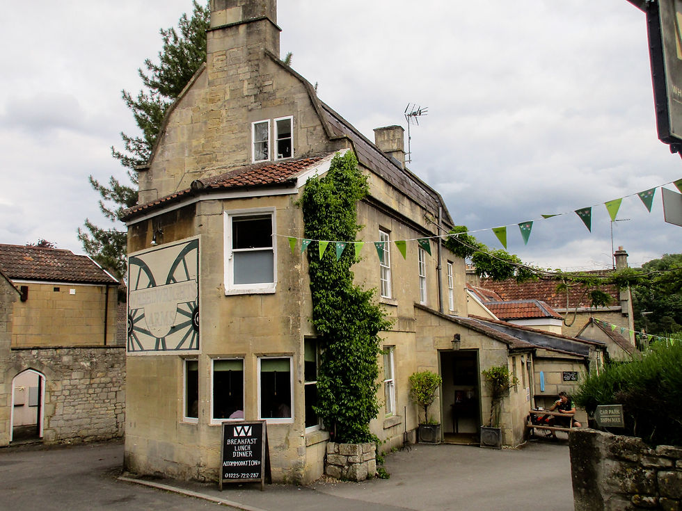
We passed some lovely pubs today, like the Wheelwright Arms in Monkton Combe. Turning the walk into a gentle riverside pub crawl terminating in Bath would not be without its merits.

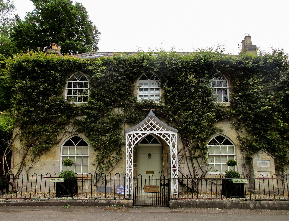
It was only when the house was complete that the builder realised he had forgotten one pivotal element...

The sports pitch at Monkton Combe.
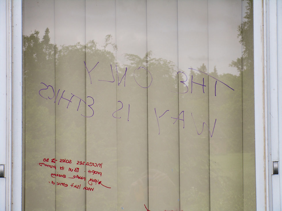
Window in the philosophy department of expensive Monkton Combe School. It says: THE ONLY WAY IS ETHICS.
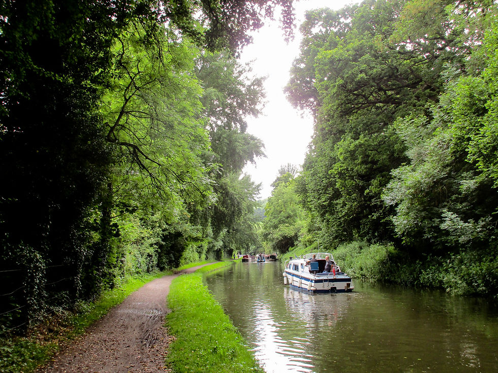
Crowds grew again as we rounded the corner to join the River Avon and Avon Canal at the towering Dundas Aqueduct, John Rennie's elegant Bath limestone construct that carries the canal high above the river.
From there it was level walking all the way home as we followed the canal towpath, in its wide wooded valley, into the heart of Bath.
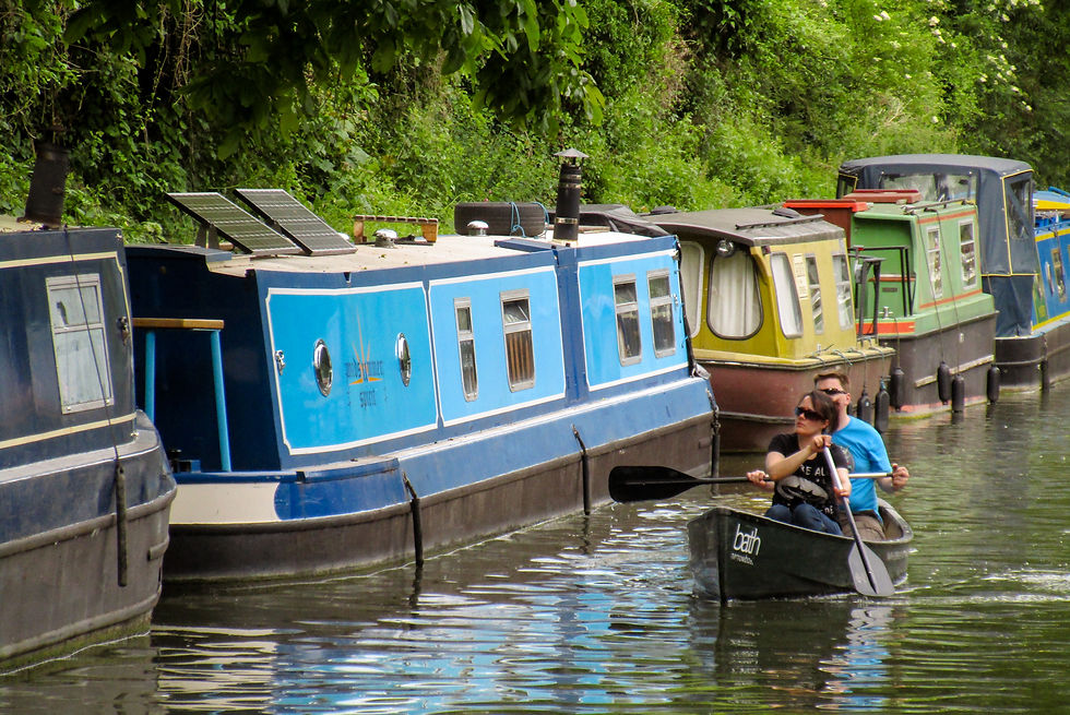
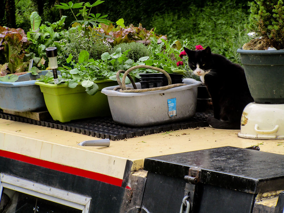
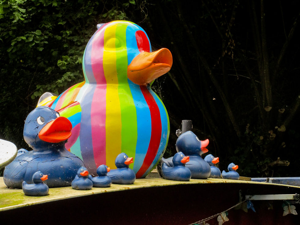
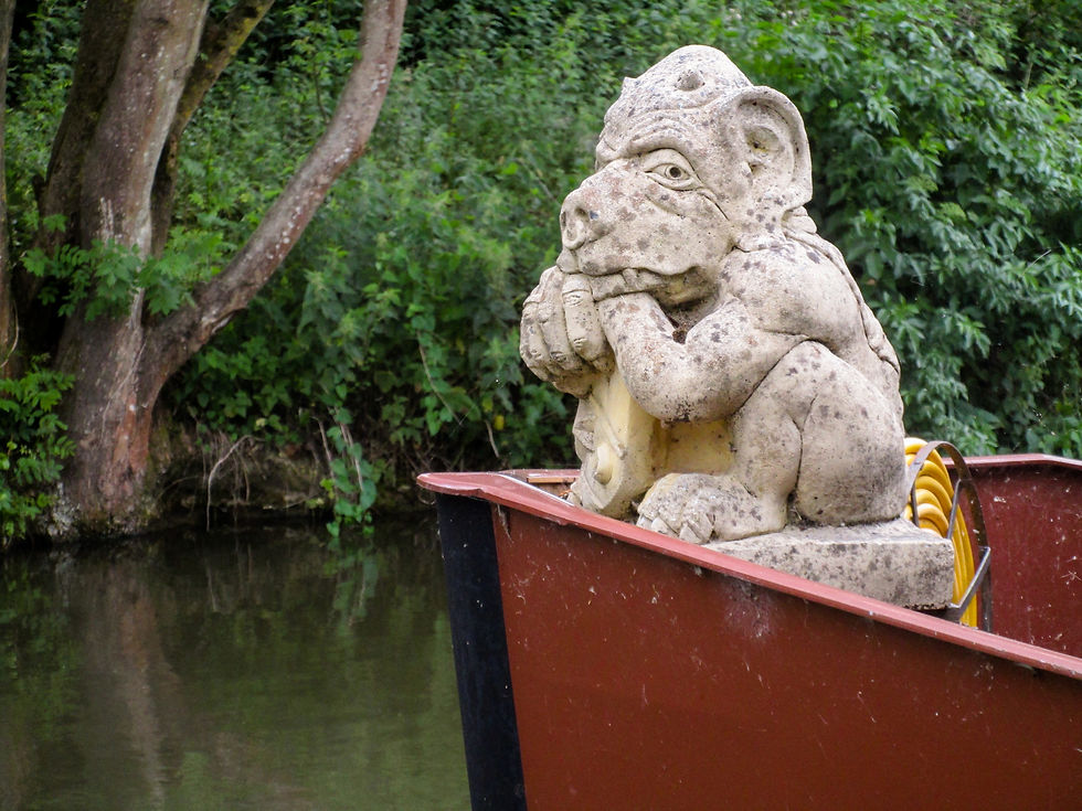
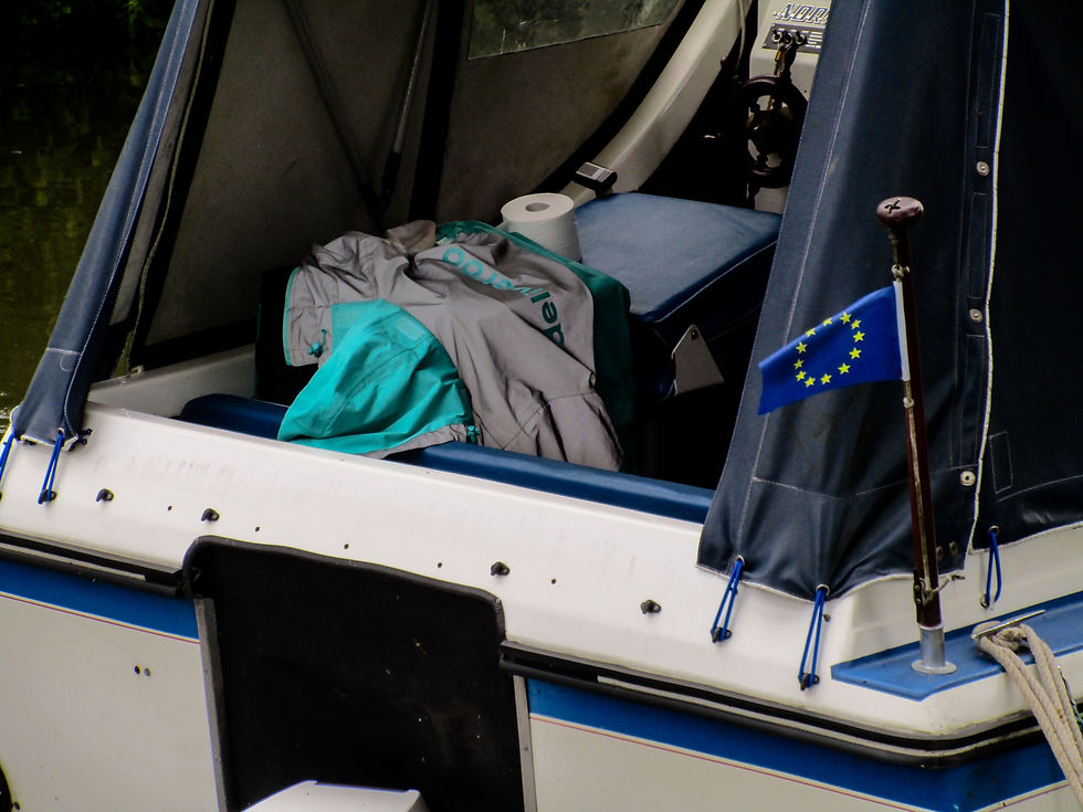
Canal walking may not be technically challenging, but there was interest every step of the way; characters of all kinds sunbathing on their narrowboat decks, tending to moorings, watering plants; a thousand and one design and architectural details aboard their colourful vessels; and then - inevitably - the stag do's and birthday cruisers, with fancydressed Wurzels and lads in sailors' costumes.
As proximity to Bath turned the canal from backwater idyll to Butlins-on-water, it was hard to find a crew that wasn't messing about on the river. I'd wager that the crew of every boat on the last mile into Bath was well past the drink-drive limit. Even those on the steep locked descent down into the river itself.
Still, it seemed like fun was being had by all. And with sunshine, colour, wildlife and water all around, it was hard not to get into the summertime Saturday mood.

Boats queue to cross the Dundas Aqueduct that allows boats to cross from the west to the east bank of the River Avon. Just south of here the canal terminates at a tunnel and becomes the relics we were walking along throughout day. There are moves afoot to change that.
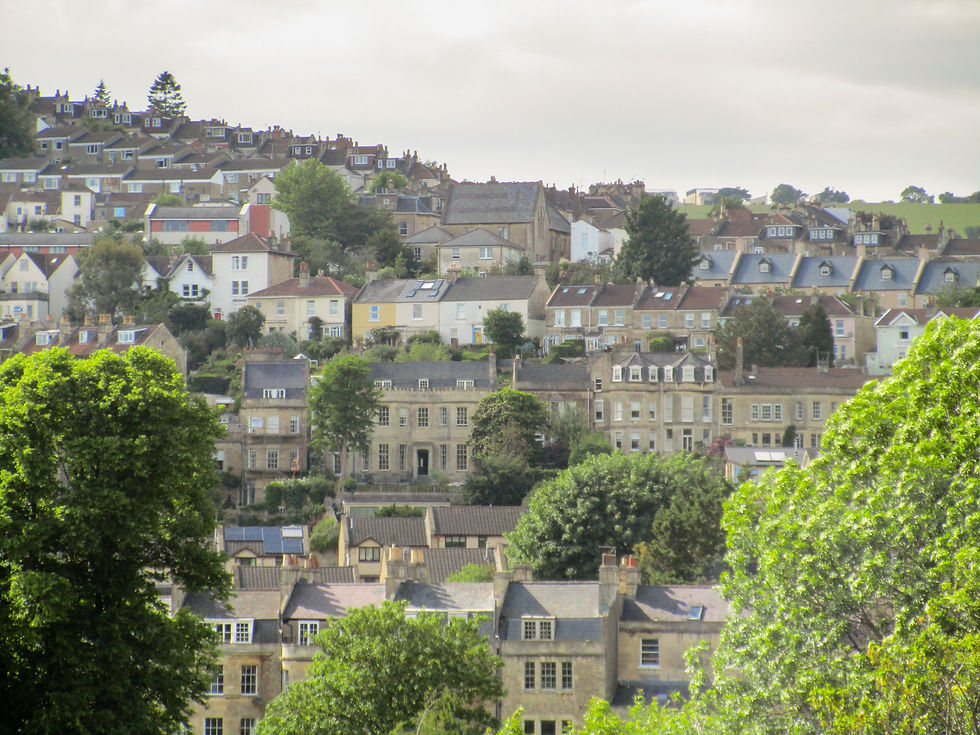
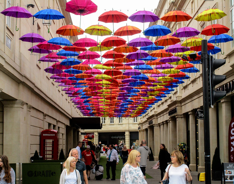
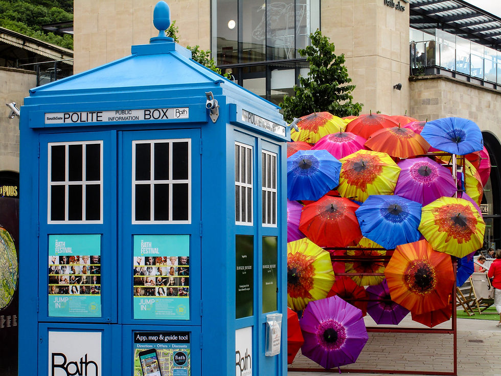
Into Bath...

Popular Stag destination apparently: The Avon and Somerset canal.
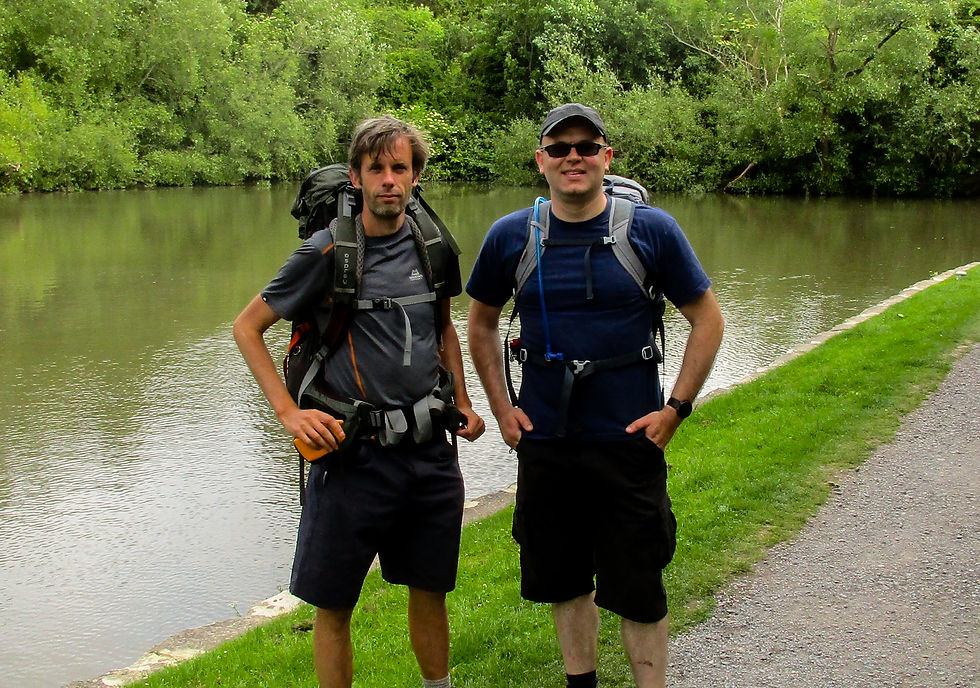
Mark and I. We managed to overtake a series of canal boats as we walked the towpath. But we had the advantage of not piloting a boat under the influence of large quantities of Stella Artois.
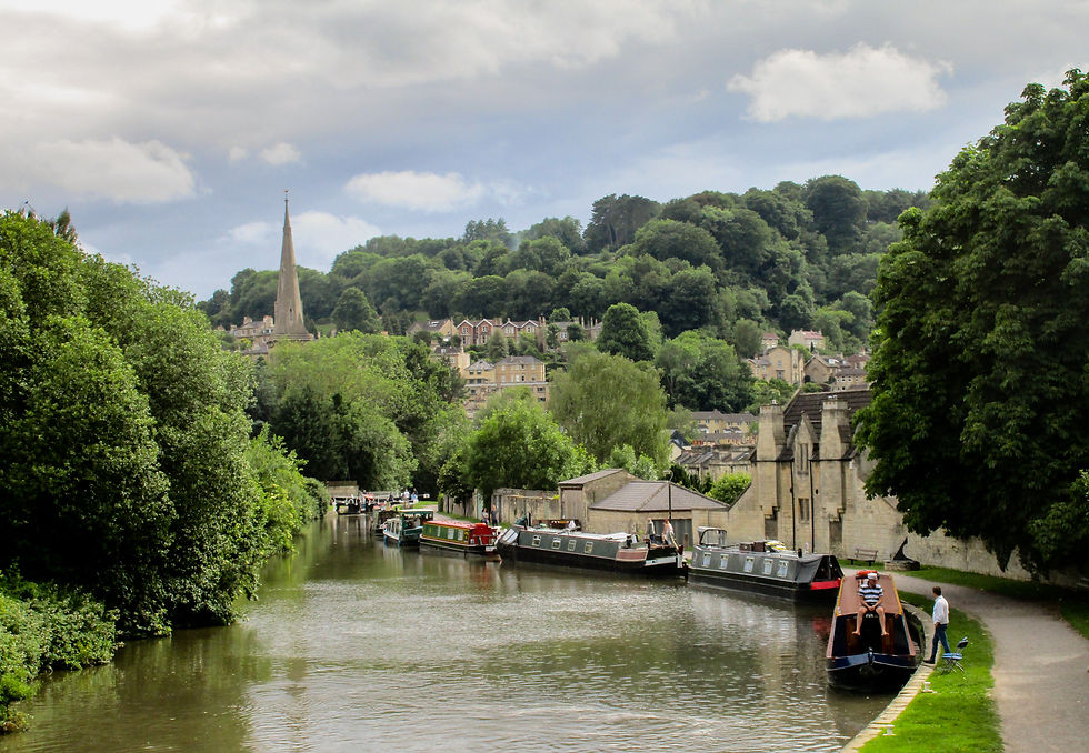
Journey's end: Bath.
Next: Day 21 – Bath to Old Sudbury.
Previous: Day 19 – Glastonbury to Midsomer Norton.


Comments